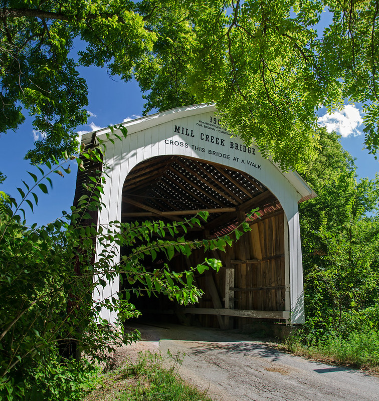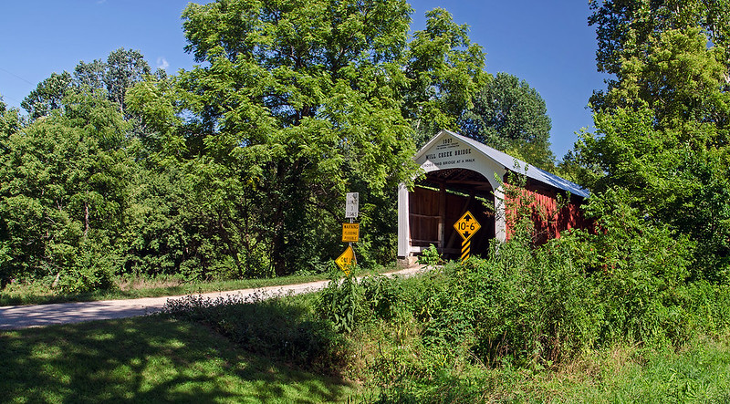
Partially obscured by trees, the 92 foot long Mill Creek Covered Bridge almost becomes part of the surrounding landscape. Still in use on Towpath Road, 2-1/2 miles from Tangier, Indiana, the 1907 structure spans Mill Creek at a point once called Thompson's Ford (a ford is a shallow area of a creek or river which is often used for crossing). This area was very close to the historic Wabash and Erie Canal, hence the name Towpath Road, and a third name for the bridge: Tow Path Bridge.

A small village once existed near this bridge; within it, a flour mill operated for several years. The dam for the mill washed away in 1888, and was never replaced. There are no remains of the village today.
The creek beneath this bridge is quickly eroding the bank, forcing some structural enhancements over the last few years. Nonetheless, the bridge remains open to traffic.


No comments:
Post a Comment